Uncoordinated
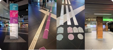
Each operator has its own signage, its own colors, its own entrance. SNCF, TCL, metro, tram, CELP each speak their own language. The user has to relearn everything at every intersection.
 Introducing
2026
“A multimodal transit hub is a place where train, metro, tram and bus meet across multiple floors. Each operator has its own system, its own colors, its own logic. The user has to relearn everything at every intersection. The result: disorientation, and a first visit that is 100% negative.”
Romain Rubens
“It was HORRIBLE, I got completely lost, and the WORST part was during the construction, how do you even get to the metro?”
A user, first visit
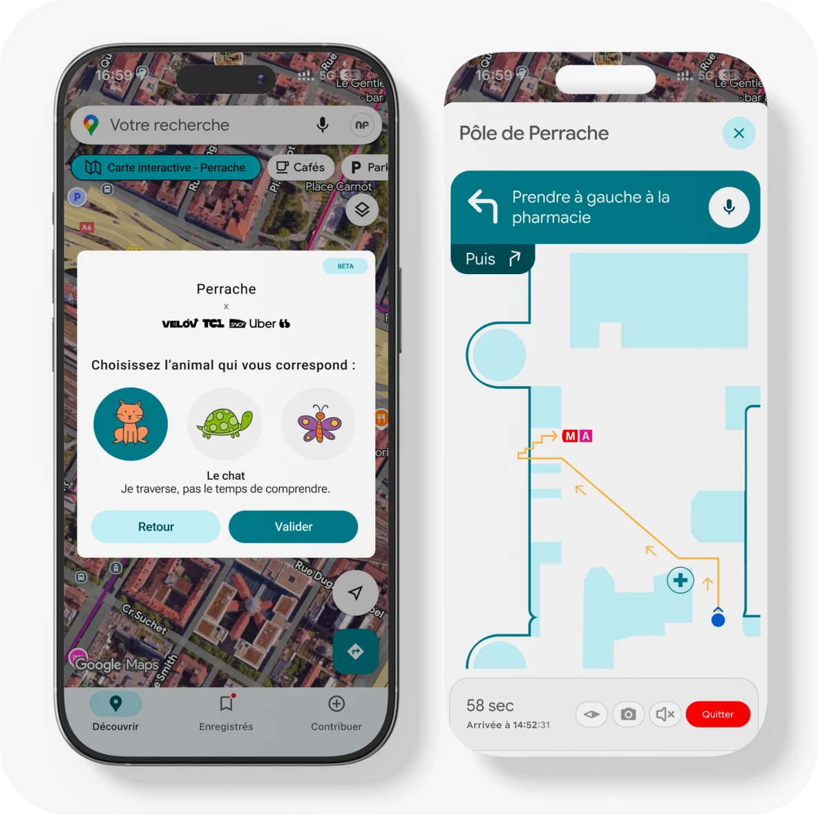
How do you make navigation through Perrache, a major multimodal transit hub in Lyon, France, accessible, readable and intuitive for every user, regardless of their needs or familiarity with the place? Perrache layers decades of overlapping signage systems, operators that do not communicate with each other, and ongoing construction works that permanently shift landmarks.
Each operator has its own signage, its own colors, its own entrance. SNCF, TCL, metro, tram, CELP each speak their own language. The user has to relearn everything at every intersection.
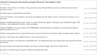
Survey responses are unanimous: the space completely fails to guide users discovering it for the first time.
Most visits last under 5 minutes. What matters is immediate orientation, not a pleasant space.
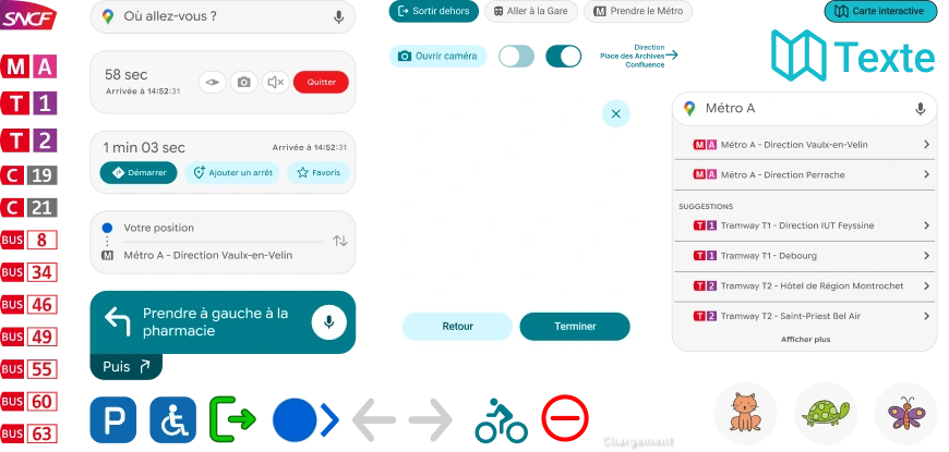
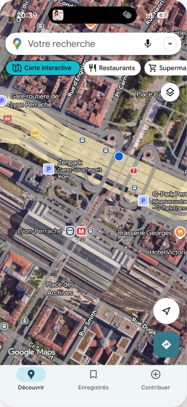
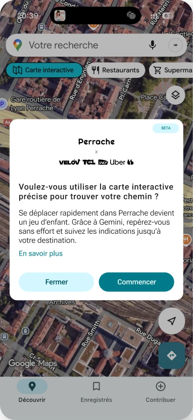
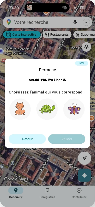
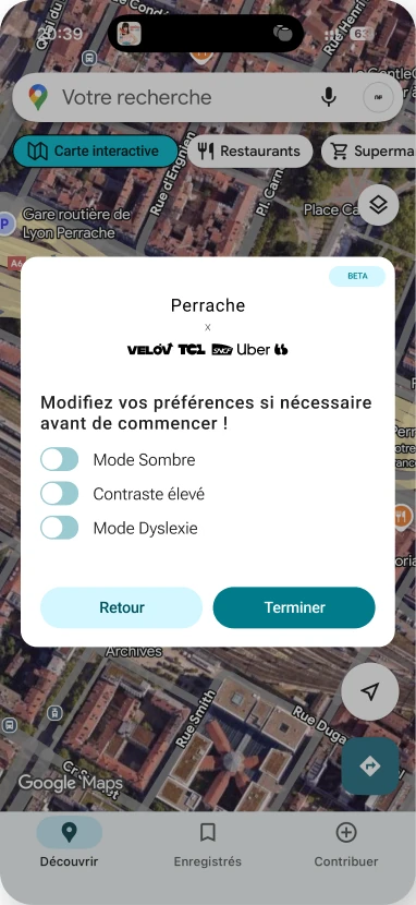
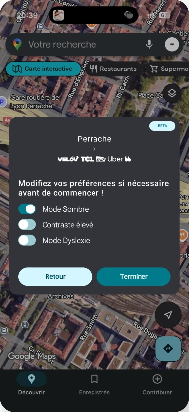
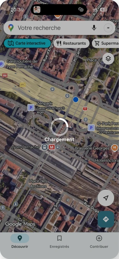
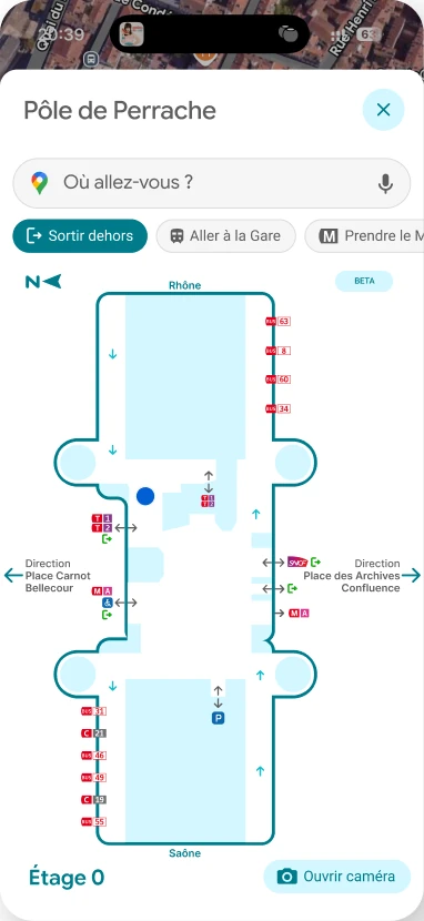
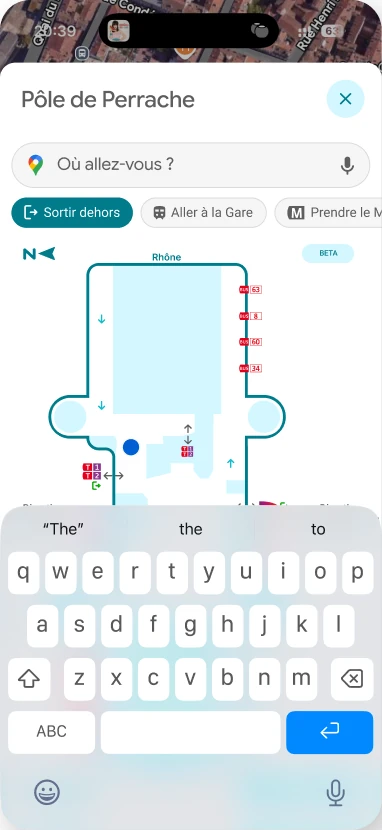
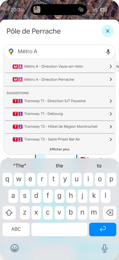
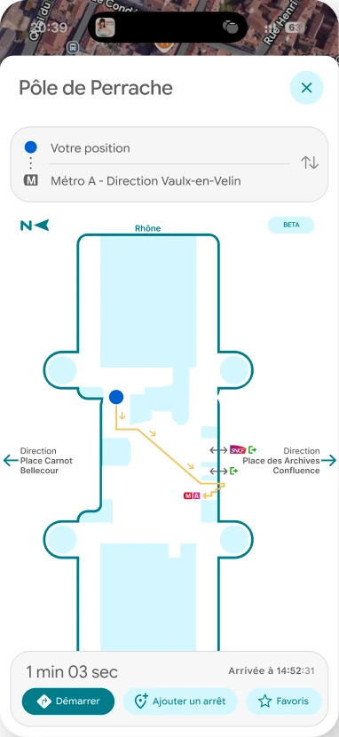
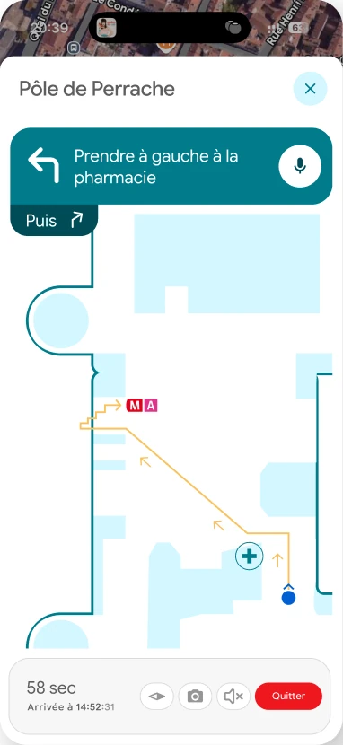
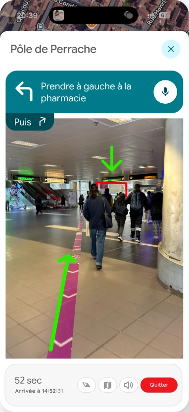
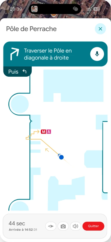
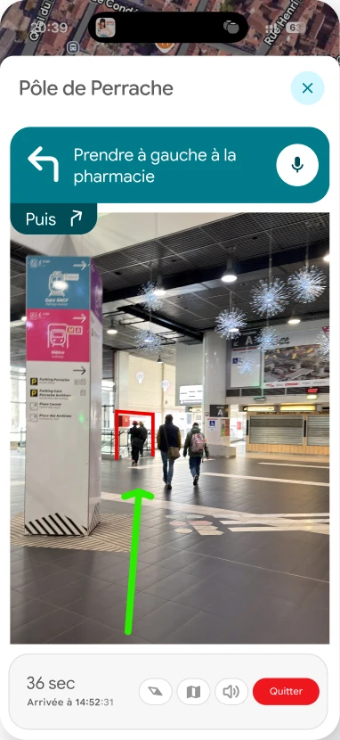
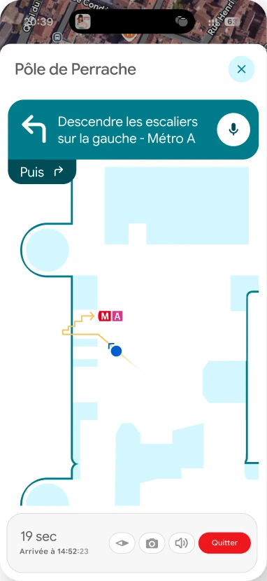
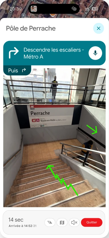
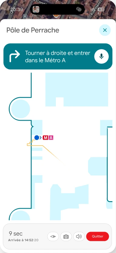
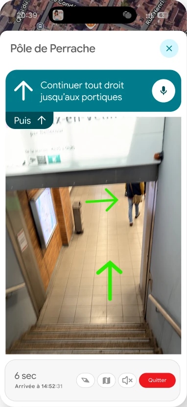
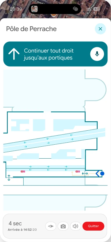
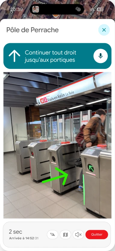
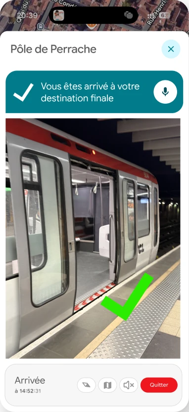
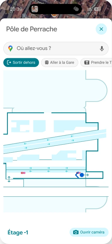
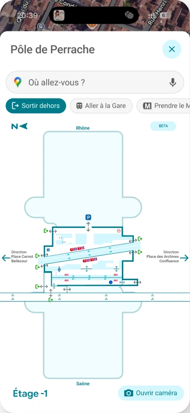
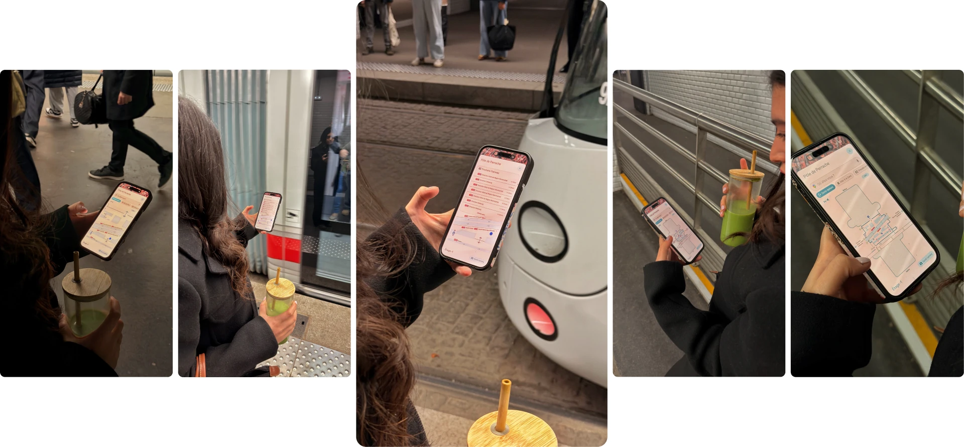
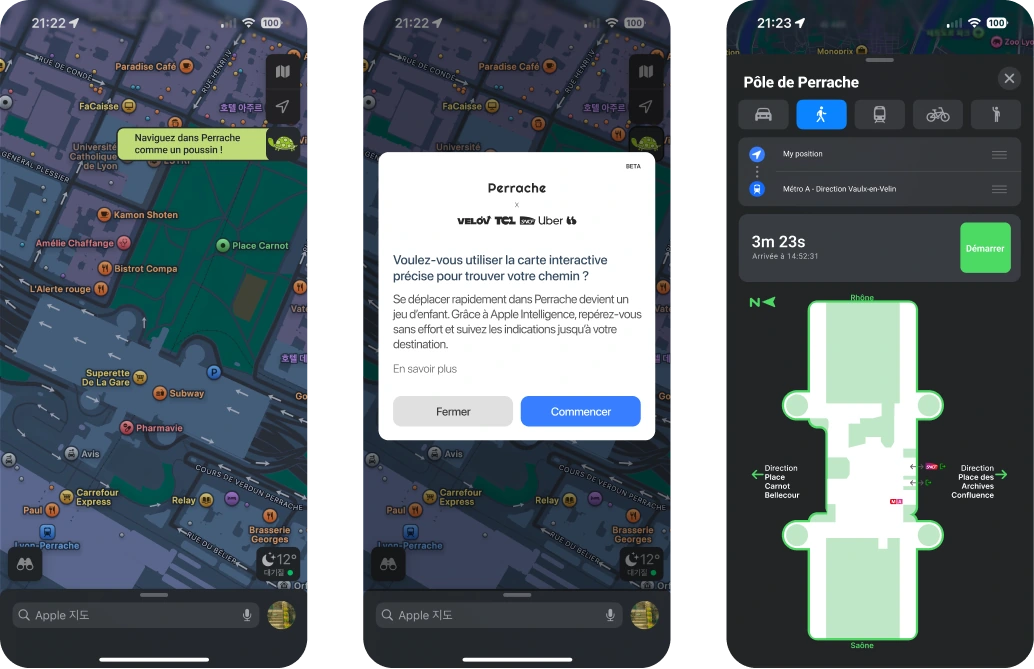
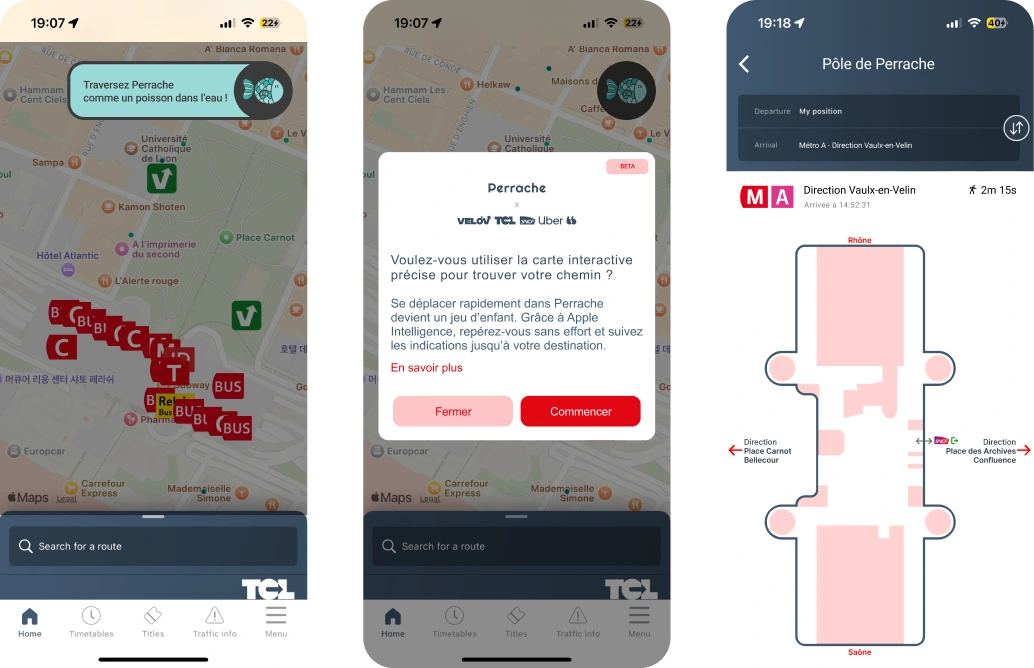
A plug-in integrated into Google Maps, Apple Maps and TCL offering a 2D map per floor with contextual navigation, designed for users discovering the place for the first time.
There is no common language between operators. The construction works improve the physical space, but not the readability of the space. That is where interaction design comes in.

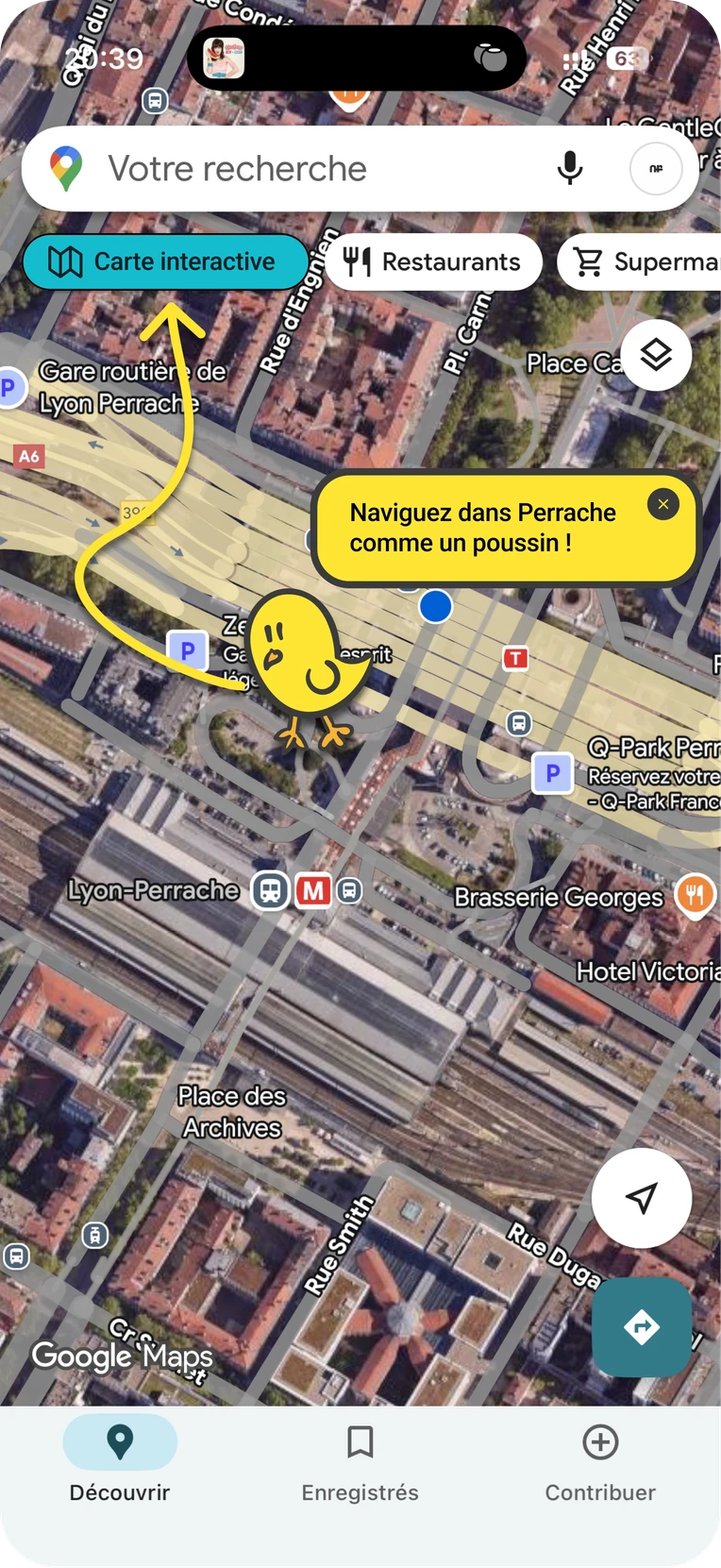
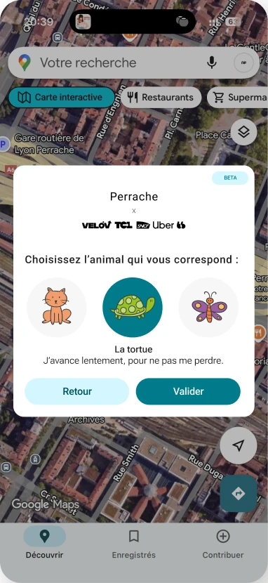
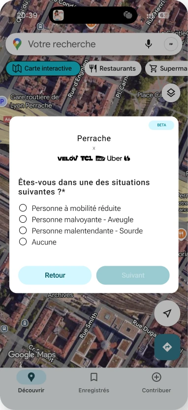
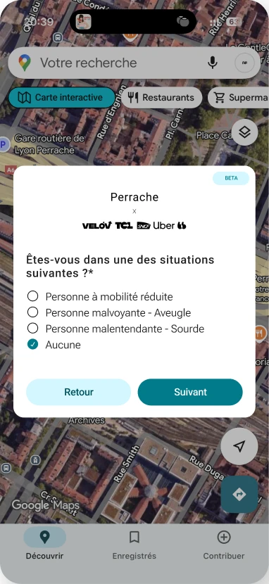
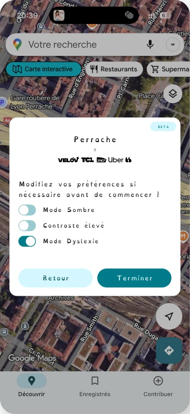
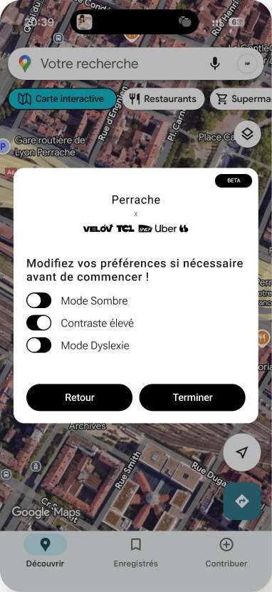
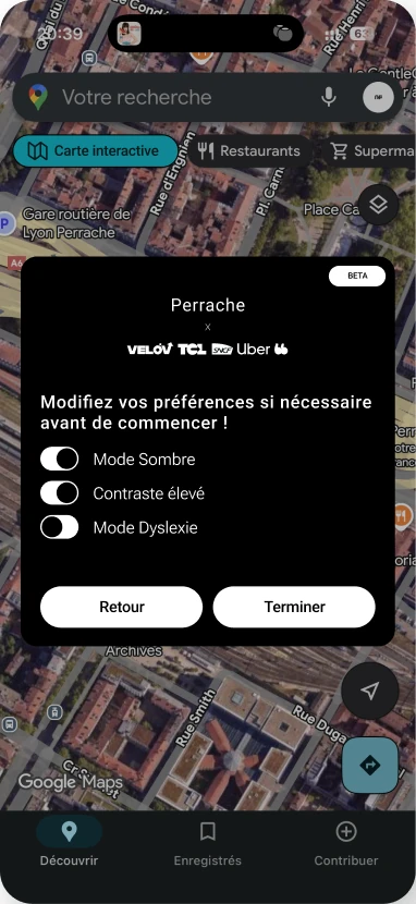
A mascot, an OpenDyslexic mode, colors tested for color blindness. Designed for everyone, without exception.
The project designs a plug-in extension integrated into Google Maps, Apple Maps and TCL to navigate through Perrache, a major multimodal transit hub in Lyon, France. A 2D map per floor, contextual navigation, and a visual identity accessible to every user profile, including people with disabilities. Colors were tested for color blindness and a chick mascot guides the user step by step.
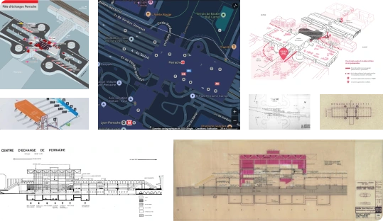
No two maps look alike. Every era, every operator has produced its own representation of Perrache. Some are too complex to read in under 5 minutes. None share the same visual language. It is the portrait of a place that no one understands in the same way.
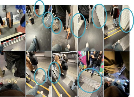
Spaces are narrow, flows are massive. At peak hours, tram and metro pour hundreds of people into corridors built for half that number. Obstacles are everywhere: walls, barriers, steps, doors. Moving through Perrache demands an effort the space should never have required.

Physically or cognitively vulnerable person. Every disruption is amplified: stairs, dark areas, distant elevators, incoherent noise.
Regular user, used to quick connections. Knows part of the place but does not seek to understand it as a whole.

Occasional traveler, tourist, user discovering the place for the first time. No prior mental framework.